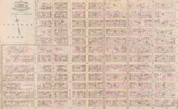
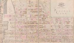
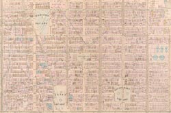
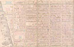
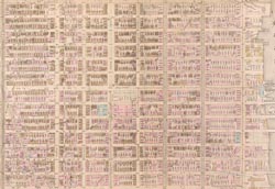
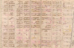
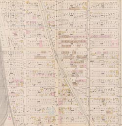
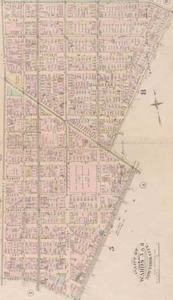
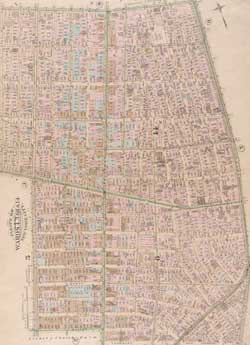
Map - Upper West Side 1885 - North of 76th Year: 1885 Streets of New York City Random discovery ! 📌
Click on the map to zoom more ⚲ Explore other maps of the same location but different year
magnifying glass - size

BANQ / Ville de Montréal - Source
Map added by anonnyous user
ID source:
ID local: 303
Number of object linked with that map : 1530
Year of the map: 1885
Legend NYPL - Plate 20: Bounded by E. 89th Street, East River (Avenue B), E. 76th Street and Fifth Avenue., 1, 1, 1, 1, 1, 1, 1, 1, 1
Map's keywords: Richard Stuart
Add keywords
(Help us to describe the content of this map by writing the names of streets or other inscriptions on the map)
What is the coat of arms represented on the facade?
Map limits
See the limits of all the maps of the same year
( Réserver aux membres)
Add a comment or ask a question