Carte - Année: 1885 Rues de New York City Découverte aléatoire! 📌
Cliquez sur la carte pour augmenter le zoom ⚲ Explorer d'autre carte de la même localisation
Loupe - Grandeur
BANQ / Ville de Montréal - Source
Carte ajoutée par un usager anonyme
ID source:
ID local: 297
Nombre d'objets liés avec cette carte: 1947
Année de la carte: 1885
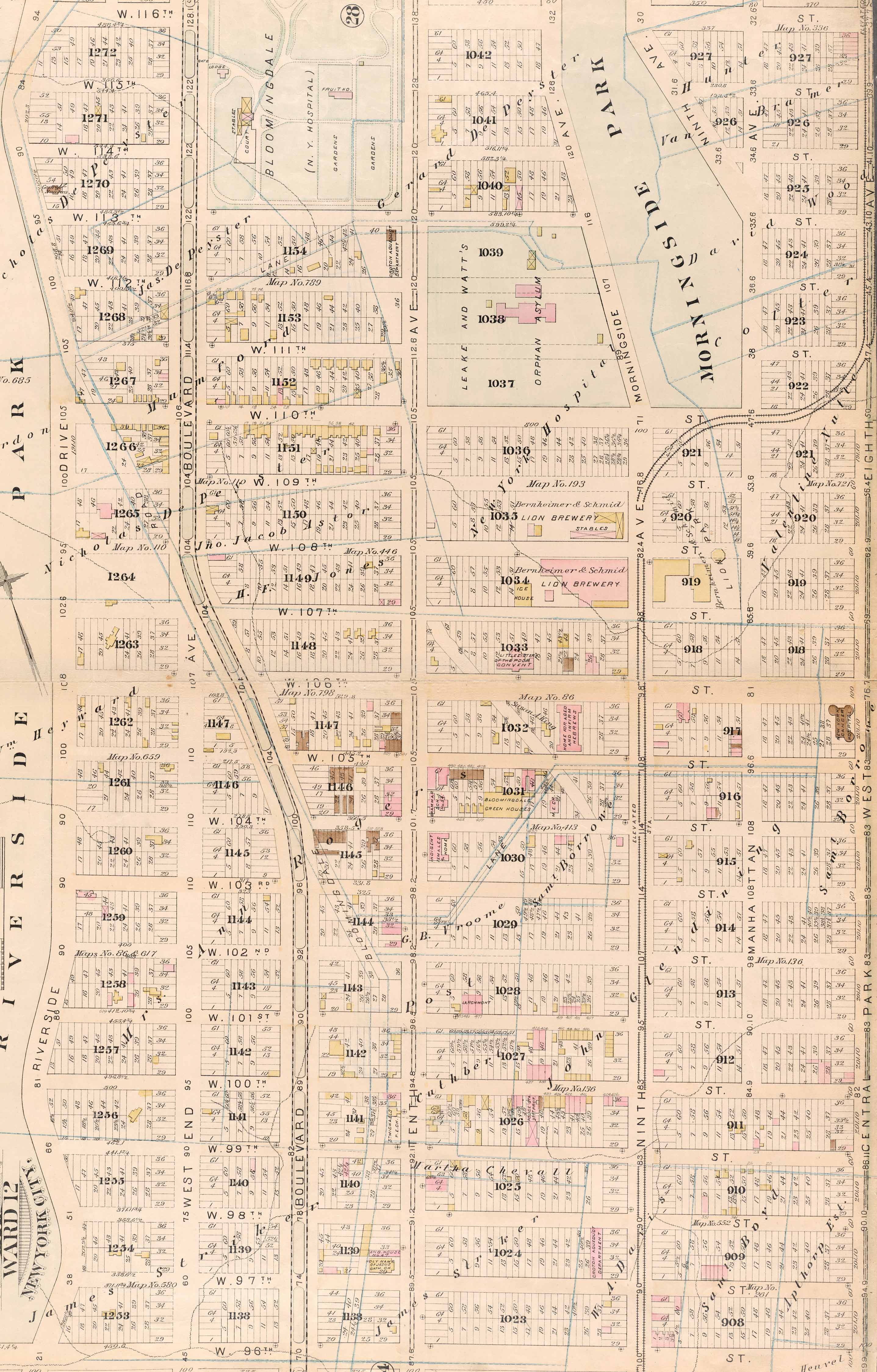
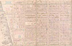
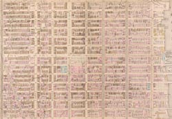
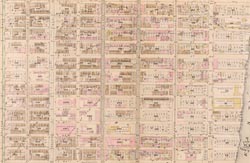
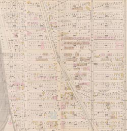
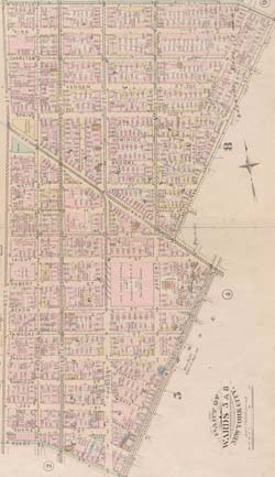
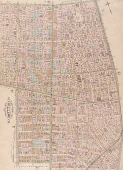
L�gende Plate 25: Bounded by Hudson River (Twelfth Avenue), W. 116th Street, Boulevard, 113rd Street, Tenth Avenue, W. 116th Street, Eighth Avenue, Central Park West, and W. 96th Street., 1, 1, 1, 1, 1, 1, 1, 1, 1, 1, 1, 1, 1, 1, 1, 1, 1, 1, 1, 1, 1, 1, 1, 1, 1, 1, 1, 1, 1, 1, 1, 1, 1, 1, 1, 1, 1, 1, 1, 1, 1, 1, 1, 1, 1, 1, 1, 1, 1, 1, 1, 1, 1, 1, 1, 1, 1, 1, 1, 1, 1, 1, 1, 1, 1, 1, 1, 1, 1, 1, 1, 1, 1, 1, 1, 1, 1, 1, 1, 1, 1, 1, 1, 1, 1, 1, 1, 1, 1, 1, 1, 1, 1, 1, 1, 1, 1, 1, 1, 1, 1, 1, 1, 1, 1, 1, 1, 1, 1, 1, 1, 1, 1, 1, 1, 1, 1, 1, 1, 1, 1, 1, 1, 1, 1, 1, 1, 1, 1, 1, 1, 1, 1, 1, 1, 1, 1, 1, 1, 1, 1, 1, 1, 1, 1, 1, 1, 1, 1, 1, 1, 1, 1, 1, 1, 1, 1, 1, 1, 1, 1, 1, 1, 1, 1, 1, 1, 1, 1, 1, 1, 1, 1, 1, 1, 1, 1, 1, 1, 1, 1, 1, 1, 1, 1, 1, 1, 1, 1, 1, 1, 1, 1, 1
Mots clés de la carte: 100th Street 101th Street 102nd Street Street 104th Street 105th Street 106th Street 107th Street 108th Street 109th Street 210 W 109th st
Booker T Washington Middle School
Bloomingdale Branch - New York Free Circulating Library
Towers on the Park Southwest [Towers on the Park]
Saint Gerasimos Greek Orthodox Church
Church of the Holy Name of Jesus
Trinity Lutheran Church of Manhattan
Morris Shapiro Hall [Columbia University]
Ajouter des mots clés
(Aidez nous à décrir le contenu de cette carte en y écrivant les noms de rues ou autres inscrit de la carte)
Limites de la carte
Voir les limites de toutes les cartes de l'année
( Réserver aux membres)
Ajouter un commentaire, poser une question à tous