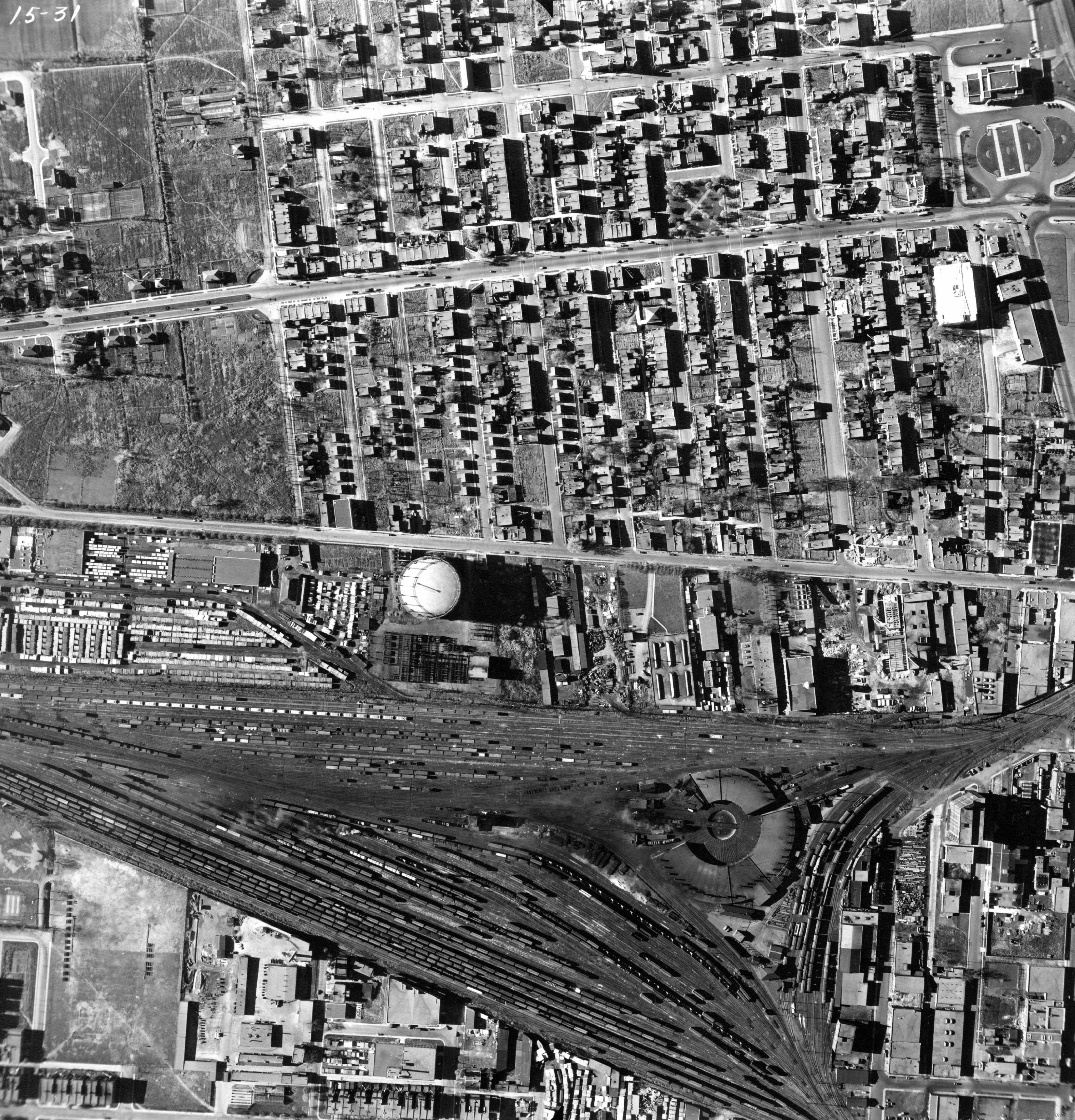
Map - Outremont - Parc-Ex et la gare de triage en 1949 Year: 1949 Streets of Montréal Random discovery ! 📌
Add by : Martha 
Click on the map to zoom more ⚲ Explore other maps of the same location but different year
magnifying glass - size
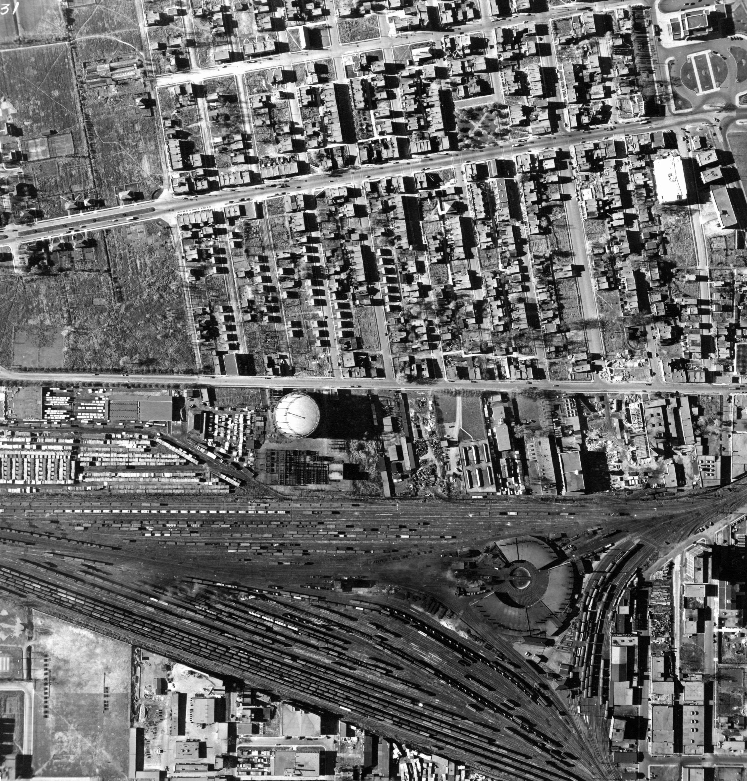
BANQ / Ville de Montréal - Source
Map added by anonnyous user
ID source: VM97-3_7P15-31
ID local: 421
Number of object linked with that map : 1059
Year of the map: 1949
Legend , 1, 1, 1, 1, 1, 1, 1, 1, 1, 1, 1, 1, 1, 1, 1, 1, 1, 1, 1, 1, 1, 1, 1, 1, 1, 1, 1, 1, 1, 1, 1, 1, 1, 1, 1, 1, 1, 1, 1, 1, 1, 1, 1, 1, 1, 1, 1, 1, 1, 1, 1, 1, 1, 1, 1, 1, 1, 1, 1, 1, 1, 1, 1, 1, 1, 1, 1, 1, 1, 1, 1, 1, 1, 1, 1
Source Title: Archives de la ville de Montréal
Map's keywords: BOULEVARD DU MONT ROYAL Rue Durocher Jean Talon Jean Talon
Add keywords
(Help us to describe the content of this map by writing the names of streets or other inscriptions on the map)
Map limits
See the limits of all the maps of the same year
( Réserver aux membres)
Maps from same year


Add a comment or ask a question