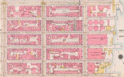
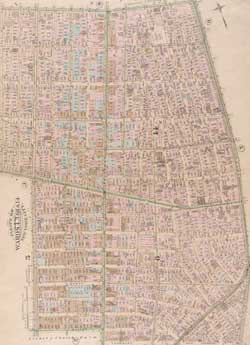
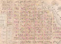
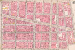
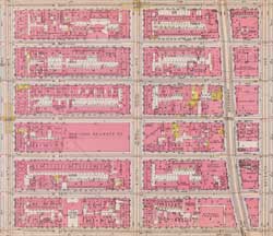
1 B
6 B
8 B
9 B
11 B
13 B
14 B
15 B
16 B
17 B
18 B
21 B
23 B
25 B
26 B
27 B
28 B
29 B
30 B
32 B
33 B
34 B
37 B
38 B
40 B
41 B
42 B
44 B
45 B
46 B
47 B
49 B
50 B
51 B
53 B
58 B
60 B
62 B
76 B
82 B
93 B
94 B
95 B
96 B
97 B
98 B
99 B
100 B
101 B
102 B
103 B
104 B
104 B RD
105 B
106 B
107 B
108 B
119 B
121 B
121 B RD
131 B
137 B
143 B
149 B
151 B
153 B
155 B
157 B
159 B
162 B
163 B
165 B
166 B
167 B
168 B
169 B
170 B
171 B
172 B
173 B
174 B
175 B
176 B
177 B
179 B
181 B
182 B
183 B
185 B
186 B
188 B
190 B
192 B
195 B
196 B
199 B
201 B
202 B
204 B
205 B
206 B
207 B
208 B
210 B
212 B
215 B
216 B
218 B
219 B
220 B
221 B
222 B
223 B
224 B
225 B
227 B
228 B
229 B
230 B
THE NEW YORK PUBLIC LIBRARY DIGITAL COLLECTIONS Atlas of the borough of Manhattan, city of New York
The NYPL DIGITAL COLLECTIONS Atlas of the borough of Manhattan, city of New York - 1916 plate 68
Plate 13: Bounded by W. 40th Street, E. 40th Street, First Avenue (Harlem River, Lumber Yards), E. 27th Street, W. 27th Street and Sixth Avenue.
plate 4 1885
East Harlem - Map 1885
Canal - Grand Street - Broadway - map 1916
Time Square - North - map 1916
Midtown East New York City - map 1916
West Village in 1885
W. 71st Street, Central Park West, W. 65th Street, and Amsterdam Avenue
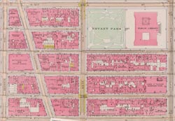
If you have historical or geographic informations on this street, we'd love to hear from you!
Add a comment or ask a question